Qui sarebbe possibile mettere una playlist
The “Via della Spina”
The Via della Spina or “via Recta” was born from trans-Apennine itineraries and is an ancient Roman road which, crossing the Apennines, connected the Latium with the Umbrian side and the Piceno. This road represented the shortest trans-Apennine connection to reach the Adriatic ports through the Chienti valley or the Tyrrhenian ones through the Nera valley and Spoleto. This “straight” road connected multiple itineraries, some of which followed the transits that would later be those of the eastern Flaminia – Interamna Nahars – Narnia, others which headed towards the transits subsequently converging in the western branch of the Flaminia with Vicus Martis – Carsulae – Narnia.
For a long time, even in late ancient times, and later, despite the Loretana route, it remained an itinerary widely used by travellers, traders, Romei or Lauretan pilgrims, despite the fact that the Via Lauretana for Cifo and the Valle del Menotre began to be preferred, or – before again – the one that followed the Via Plestina between the Piano di Ricciano (San Matteo), San Pietro (Sostino) and Pale (and later the “Corta di colle” from San Paolo).
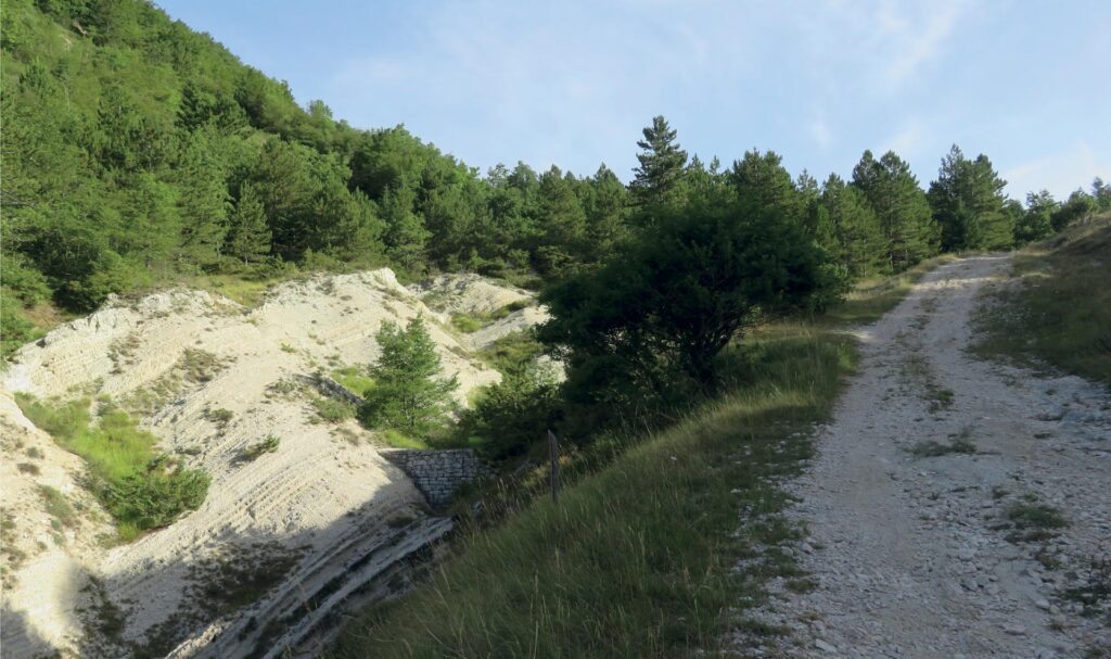
In the stretch falling within the municipality of Serravalle di Chienti, today the road partly runs along asphalted roads and partly through stretches now considered mountain paths, sometimes no longer well defined, as over the centuries, also due to climate changes and disappearance of many waterways, the travel routes have been modified. However, thanks to the reading of the landscape from a historical point of view and photo interpretation, this ancient road which culminated in the heart of the Roman city of Plestia appears clearly evident. Recently acquired archaeological data allow us to clearly define access to the city forum and therefore to the square, the beating heart of commercial activities. The Via della Spina which then went up to Verchiano and Rasiglia, then passing through the current hamlet of Civitella, in the municipality of Serravalle, then crossed the Valle Verde in an almost straight line, up to Madonna del Piano and from there up to Cesi. From Cesi, partly along “the old road” that leads to the town square, you reach “the road of the carpet”, i.e. the path that runs along the NW side of Monte Trella.
This last stretch, in a logic of reconstruction of the ancient landscape, appears very interesting and crucial, as it is worth underlining that the road ran alongside that stretch of the mountain, heading straight for the “devil’s hole” and the forum of the city of Plestia, as on the opposite side, i.e. the stretch of the current modern road, there must have existed, at least for the entire Augustan phase, a more marshy and marshy area, close to the Rio Cesi stream, which has now almost completely disappeared. And therefore an area that is not passable. Access to the city of Plestia culminates in the “Via Plestia” and in the city forum, which stood in the square in front of the current Basilica of Plestia. From an anthropological point of view it is interesting to observe that, although the city later disappeared, probably due to a strong earthquake which put the Roman collector of Fonte delle Mattinate out of use (today it can be visited together with the Botte dei Varano), it still takes place here today “the fair of Pistia,” an ancient tradition of commercial exchanges once mainly linked to transhumance, livestock and derived products.
The stretch is absolutely worth doing with a beautiful trekking or MTB excursion!